


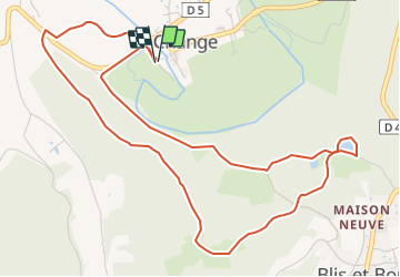

9.3 km | 12.2 km-effort


User


FREE GPS app for hiking
 SityTrail
IGN / Geographical institutes
SityTrail World
The world is yours!
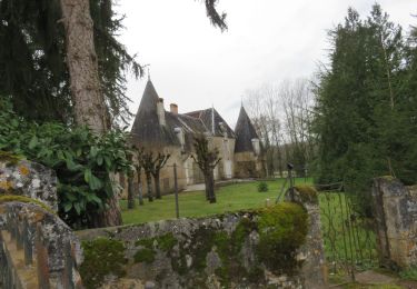
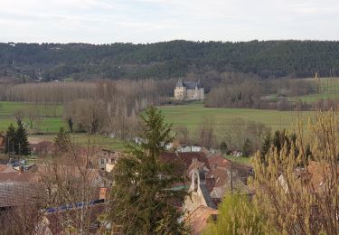
Trail On foot of 6.3 km to be discovered at New Aquitaine, Dordogne, Bassillac et Auberoche. This trail is proposed by Claire Maya.
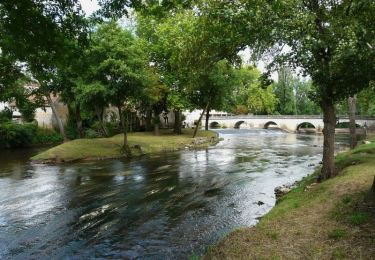
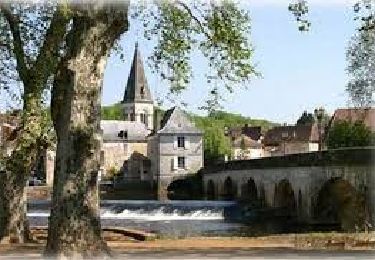
Jolie balade boisé avec un beau point d'eau.


Walking
Walking
Walking
Walking
Walking
Walking
Walking
Walking
Walking